
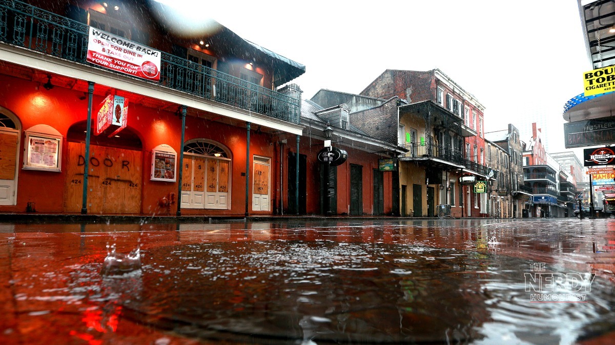
A slow-moving storm system fueled by tropical moisture brought a soggy weekend across the South, with a continuing flash-flood threat for much of the Gulf Coast and Southeast. New Orleans, Birmingham, Tallahassee, Atlanta and Charleston were all on alert Sunday, The Weather Channel reported. The Gulf Coast flash flood threat storms event is the kind of slow, drenching setup that turns streets into rivers — and it is not over yet.
Widespread rainfall totals of 3 to 5 inches were expected Sunday, with amounts up to 8 inches possible in parts of the Gulf Coast, according to The Weather Channel’s forecast. Those are forecast figures, not observed totals — but even the lower end of the range is enough to overwhelm drainage in low-lying coastal cities.
Gulf Coast flash flood threat storms: where the rain is falling
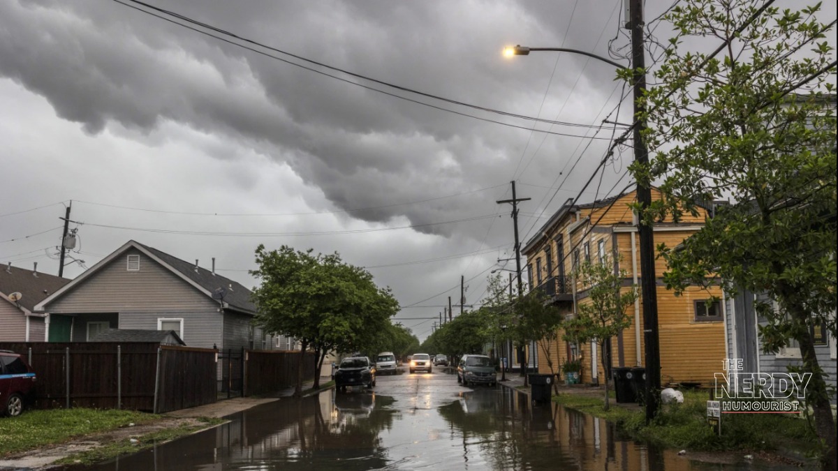
The system began Friday in New Mexico and eastern Texas before pushing east, El Cronista reported on the weekend outlook. Saturday’s heaviest rain hit Louisiana, Florida, Mississippi, Alabama, Tennessee, Georgia and the Carolinas, and by Sunday the rain had reached into the Mid-Atlantic.
Drier Canadian air is expected to keep most of the precipitation south of the I-80 corridor, according to El Cronista — which means the South takes the full brunt while the northern tier stays mostly dry. The dividing line matters for travelers: a dry Midwest and a waterlogged Southeast make for very different Monday commutes.
Why this system is so wet
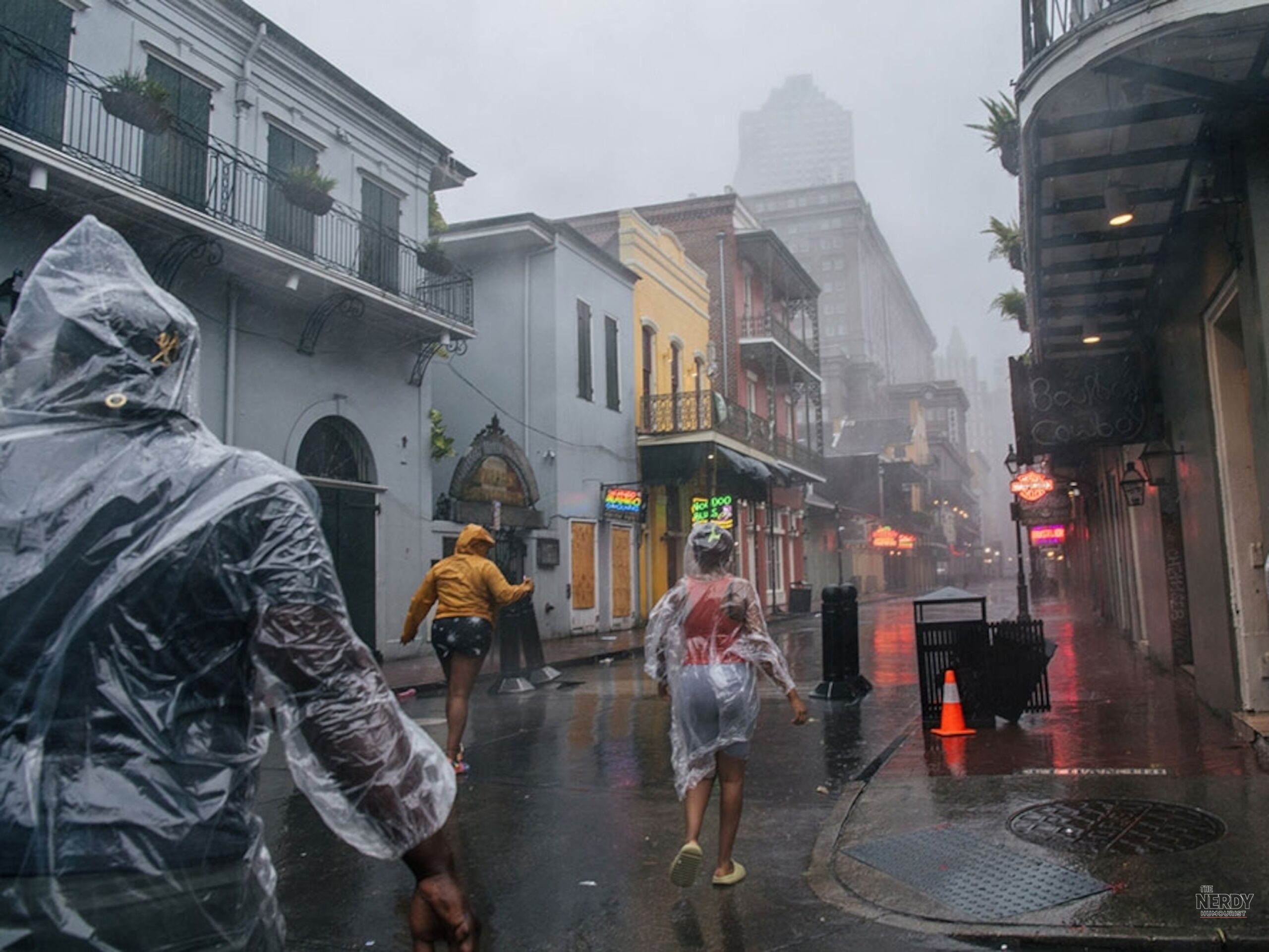
The danger in this storm is not wind — it is water, and lots of it, falling slowly. Tropical moisture streaming in from the Gulf has loaded the atmosphere, and because the system is slow-moving, the same bands of rain keep training over the same cities for hours. That is the classic flash-flood recipe: 3 to 5 inches in a day will pond on pavement and overwhelm storm drains; isolated totals near 8 inches can turn underpasses and low-lying neighborhoods into lakes.
New Orleans is especially vulnerable to this kind of event. The city’s bowl-like topography and aging drainage system mean that even a few inches of fast-falling rain can strand cars and flood homes — a reality residents know well and one that makes every flash-flood watch a serious matter. Readers who lived through last month’s nor’easter can compare notes in our September 27 report on storm damage and flight chaos.
Meanwhile in the Pacific: Hurricane Nolo, far from land
Separately, in a very different ocean, Hurricane Nolo strengthened back into a Category 3 hurricane on Saturday — packing winds of 115 mph far west of Hawaii’s main islands, the Associated Press reported. But Nolo is moving away from populated islands, and forecasters expect it to cross the International Date Line and become a typhoon in the western Pacific.
The only warning in effect covers the remote Papahānaumokuākea Marine National Monument — an uninhabited Northwestern Hawaiian Islands reserve — so Nolo is a meteorological curiosity rather than a threat to anyone’s weekend. For the storm’s earlier track, see our September 27 Nolo forecast report.
What to watch on Monday
The key question for Monday is whether the slow-moving system finally picks up speed and exits, or parks over the Southeast for another round. Flash-flood watches tend to be extended in these setups, so anyone from the Gulf Coast to the Carolinas should check local National Weather Service alerts before heading out — and remember the oldest rule in flood safety: never drive through flooded roads. Six inches of moving water can knock an adult down; twelve inches can carry away a car.
FAQ
Which cities are under the flash-flood threat?
New Orleans, Birmingham, Tallahassee, Atlanta and Charleston were all on alert Sunday, per The Weather Channel, with the broader Gulf Coast and Southeast facing the Gulf Coast flash flood threat storms through the weekend.
How much rain is expected?
Widespread totals of 3 to 5 inches were forecast for Sunday, with up to 8 inches possible in parts of the Gulf Coast, according to The Weather Channel. These are forecast figures, not observed totals.
Is Hurricane Nolo a threat to Hawaii?
No. Nolo restrengthened to a Category 3 hurricane with 115-mph winds, but it is far west of Hawaii’s main islands and moving away, the AP reported. The only tropical storm warning covers the uninhabited Papahānaumokuākea Marine National Monument.
When will the rain end?
The system is slow-moving, which is what makes it dangerous. Drier Canadian air is expected to keep most precipitation south of the I-80 corridor, per El Cronista, but flash-flood watches may be extended if the system stalls over the Southeast.
Sources: The Weather Channel; WVLT “Week Ahead in Washington”.

Leave a Reply
You must be logged in to post a comment.