
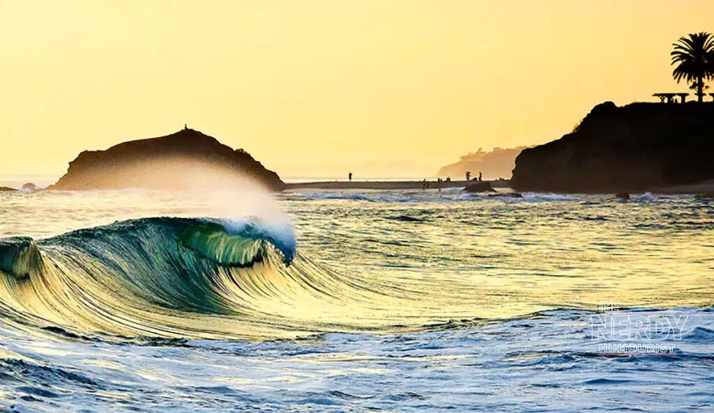
A coastal flood warning is in effect for Orange and San Diego counties as Southern California braces for a dangerous stretch of California coastal flooding, with king tides forecast to arrive October 26 to 28 on top of already-elevated ocean levels. The National Weather Service has warned that “significant coastal flooding” could inundate low-lying neighborhoods, and the California Governor’s Office of Emergency Services says a coastal flood advisory covers the state’s coast from October 25 to October 29.
The threat comes after weeks of punishment for the Southern California shoreline. Successive hurricane-generated swells from Hurricanes Marie, Polo, and Rachel stripped sand from beaches, while an oceanic Kelvin wave linked to a supercharged El Niño has pushed water levels well above astronomical predictions. Newport Beach says actual water levels are running 18 to 22 inches higher than expected, according to Surfer magazine’s reporting on the unfolding event.
Laguna Beach and the Fractured Bluff at El Morro
Nowhere is the danger more visible than in Laguna Beach, where waves have been hammering the coastline and the iconic Surf & Sand resort. Laguna Beach surfer Blair Conklin has been documenting the damage in a new video, from flooded Newport Beach streets to the fractured cliff beneath Pacific Coast Highway at El Morro in Crystal Cove State Park, according to Surfer.
Conklin previously called the El Morro bluff “one of the most vulnerable pieces of California coast right now.” Crews are now mounting a $4 million emergency operation to reinforce the fractured 360-foot bluff near El Moro and Crystal Cove, using heavy equipment, rocks, and sand-filled plastic bags ahead of the king tides, according to the New York Post.
Offshore reefs that once helped break incoming waves are no longer providing the same protection, Conklin said in the Post’s account. “Waves are not breaking on those reefs that used to protect our coast a little bit… they’re just passing the reefs because it’s deep enough and then doubling up and hitting all the structures on the inside — and there’s no sand buffer.”
The danger extends well beyond Laguna Beach. In Capistrano Beach, several homes along Beach Road have suffered structural damage. Six or seven homes have been red-tagged as uninhabitable and are undergoing demolition, according to the Post. Earlier in the season, homes on Beach Road in Dana Point were tagged after coastal damage, and two homes were demolished following damage from the Hurricane Marie swell, according to local reporting.
Newport Beach Declares an Emergency
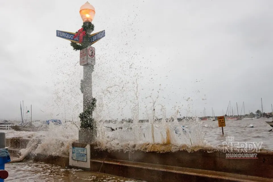
Newport Beach has declared a local emergency, activated an emergency operations center, and deployed sandbags, protective berms, and pumps, according to Surfer’s account of the city’s Instagram update. The city is also planning to relocate approximately 100,000 cubic yards of sand to eroded beaches.
The city’s adjusted forecasts call for tide peaks of 8.3 feet on Monday morning, 8.5 feet on Tuesday, and 8.4 feet on Wednesday. “Residents in low-lying, waterfront and other potentially flood-prone areas are strongly urged to take precautions now,” Newport Beach officials warned.
The numbers matter because the starting point is already high. Unusually warm ocean water and the El Niño-related Kelvin wave have pushed observed water levels 18 to 22 inches above predictions in Newport Beach. That means even a tide that would normally cause only minor flooding can now push water into streets, parking lots, and ground floors.
Forecasters say one piece of luck is holding: unlike the recent destruction from Hurricanes Marie and Rachel, no new hurricane-generated swell is expected to coincide with this king tide event. But water levels will start higher, and that alone is enough to cause trouble. “It’s likely to get worse before it gets better,” climate scientist Daniel Swain told the Los Angeles Times, according to Surfer.
Long Beach: Eight Buildings Red-Tagged
Further up the coast, Long Beach is facing its own reckoning. Residents along the Long Beach Peninsula are calling for stronger, long-term protections as another round of unusually high tides approaches, according to Fox 11 Los Angeles. Powerful waves have left eight buildings, representing 13 residential addresses, red-tagged along the peninsula, meaning they are considered unsafe to occupy.
Crews are working to replenish the beach with sand, and a $11.4 million dredging project is intended to move more than 400,000 cubic yards of sand from the Alamitos Bay channel to the peninsula, potentially extending portions of the beach by as much as 200 feet. Some residents, however, are questioning whether the project will provide enough protection — and why more permanent solutions weren’t put in place sooner. Peninsula residents gathered for a community meeting on Wednesday night seeking answers about the city’s response to coastal flooding, beach erosion, and the long-term safety of their neighborhood.
The pattern fits a longer trend. Global sea levels have been rising for more than a century, with the rate of increase accelerating in recent decades, according to the US National Oceanic and Atmospheric Administration. Two major factors are driving the trend: the expansion of seawater as it warms and the melting of glaciers and ice sheets on land. Higher average sea levels mean storm surges can push farther inland, while high tides that previously caused little disruption can increasingly result in flooding. In October 2026, powerful waves and elevated tides have already affected communities including Newport Beach, Long Beach, and Dana Point.
What Happens Next — and the Winter Ahead
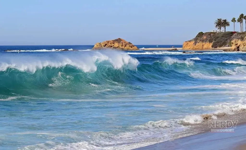
The immediate window runs from October 25 to October 29 for the coastal flood advisory, with the highest king tides expected October 26 to 28. The California Coastal Commission lists additional king tides on November 24 to 26, December 23 to 25, and January 21 to 22, according to Surfer — meaning this is not a one-week story but the opening stretch of a long winter for an already battered coastline.
Officials are urging residents in low-lying areas to prepare now: move vehicles and valuables from ground floors, avoid driving through flooded roads, and heed local evacuation guidance if it is issued. The Post’s reporting notes that the latest threat follows a season in which beaches lost their sand buffer, bluffs fractured, and homes were condemned — and the ocean, as Conklin put it, still has “a new trick up its bottomless, soggy sleeve.”
For Southern California, the question is no longer whether the coast will flood during king tides, but how much damage each successive event will add to a shoreline that has had almost no time to recover. This week’s tides will provide the next answer.
For our earlier coverage of Gulf Coast storm flooding this month, see the October flash-flood storms across the Southeast.
Frequently Asked Questions
What are king tides?
King tides are exceptionally high tides that occur when the moon is closest to Earth and aligned with the sun, pulling ocean water higher than usual. In Southern California they are forecast for October 26 to 28, 2026, on top of already-elevated sea levels.
Which areas are under coastal flood warnings?
The National Weather Service has issued a coastal flood warning for Orange and San Diego counties, with a coastal flood advisory along California’s coast from October 25 to October 29, according to the California Governor’s Office of Emergency Services.
Why is the flooding worse than a normal high tide?
An El Niño-related Kelvin wave and unusually warm ocean water have pushed actual water levels 18 to 22 inches above predictions in Newport Beach, while hurricane swells from Marie, Polo, and Rachel stripped away the sand buffer that normally protects coastal structures.
Are more king tides expected this winter?
Yes. The California Coastal Commission lists additional king tides on November 24 to 26, December 23 to 25, and January 21 to 22, according to Surfer, meaning Southern California faces repeated flood risks through the winter.


Leave a Reply
You must be logged in to post a comment.